Maps

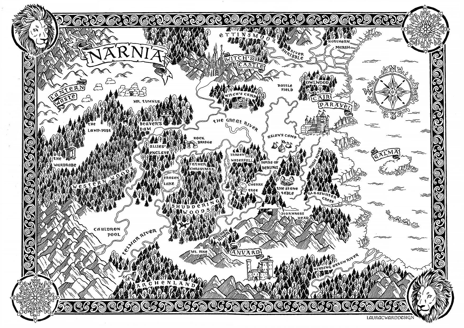
Black and white illustrated fictional map of Narnia showing various locations such as Witch's Castle, Lantern Waste, Mr. Tumnus, The Lamp-post, Beaver's Dam, The Wardrobe, Western Woods, Cauldron Pool, Terebinth Marsh River, Archland, Annard, The Stone Table, Fords of Beruna, The Great River, and Cair Paravel, with decorative borders and a lion's head at the top left and a lion's head at the bottom right.

‘Narnia’ world map

Illustrated map · Ink, Procreate, Photoshop
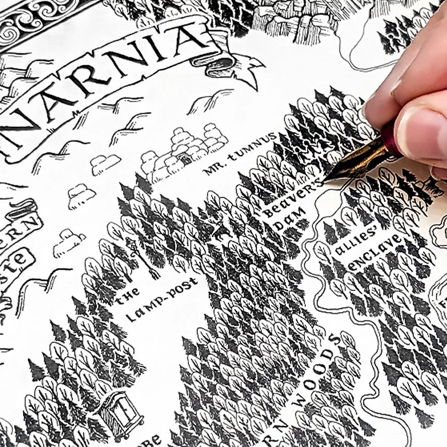
Close-up of a hand drawing a detailed black and white map of the fictional land of Narnia, with forests, mountains, and labeled locations including Lamp-post, Mr. Tumnus, and Cair Paravel.
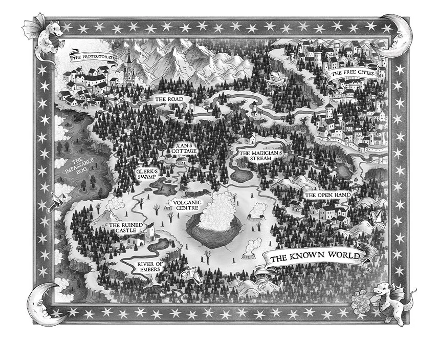
Illustrated fantasy map inspired by The Girl Who Drank the Moon by Kelly Barnhill, featuring magical landmarks, forests, rivers, mountains and imaginary kingdoms.

‘The Girl who drank the moon’ world map

Illustrated map · MA Project, Procreate
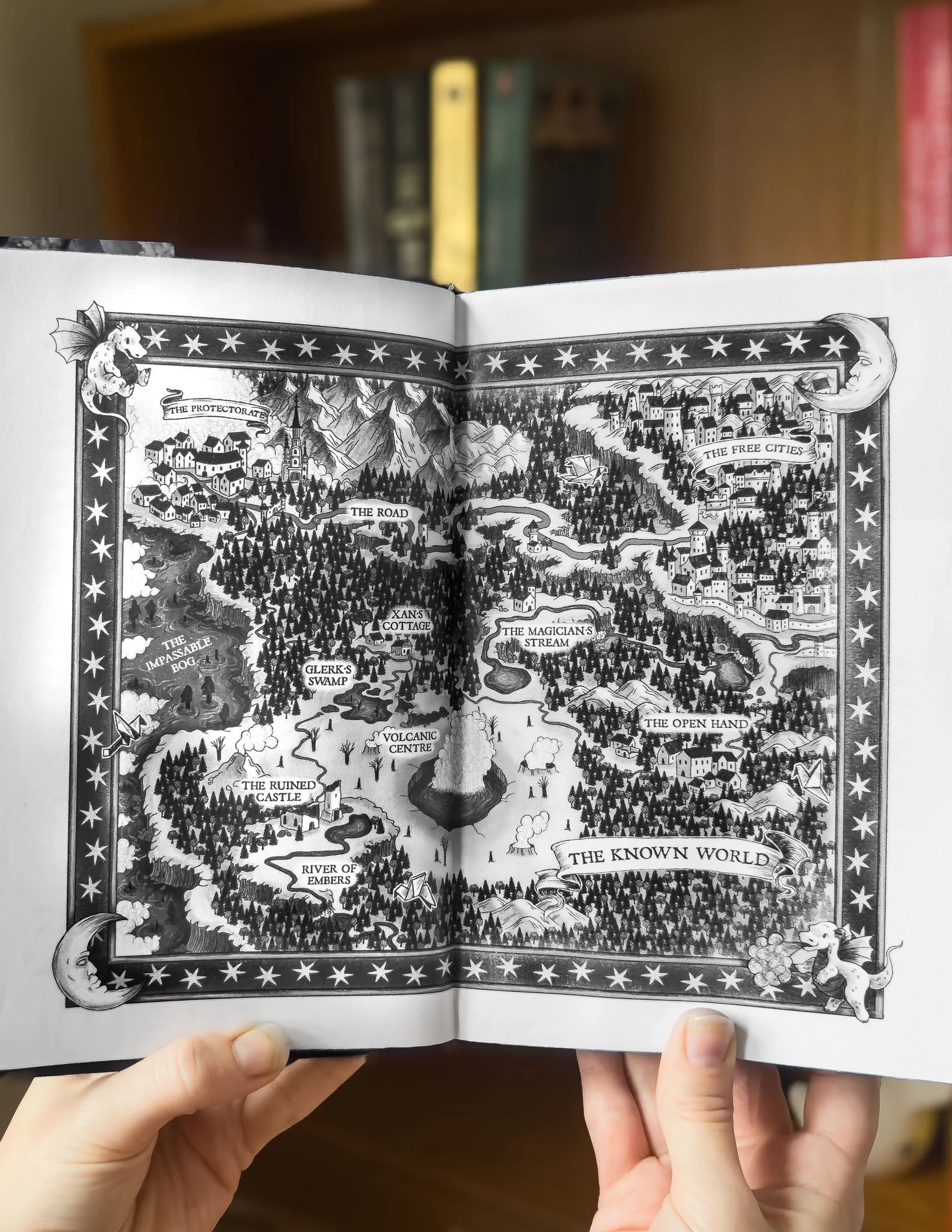
An open illustrated book held by two hands, depicting a fantasy map inspired by The Girl Who Drank the Moon by Kelly Barnhill, featuring magical landmarks, forests, rivers, mountains and imaginary kingdoms.
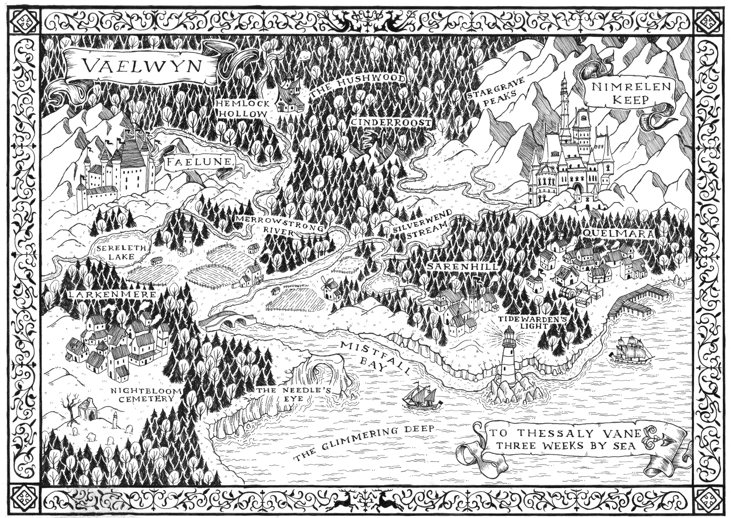
A black and white illustrated map of the Vaelwyn region, showing mountains, forests, rivers, lakes, towns, and castles with labeled features such as Faelune, Nimrelen Keep, Tarn Grave Peaks, Silverwurm Stream, and other locations. A decorative border surrounds the map.
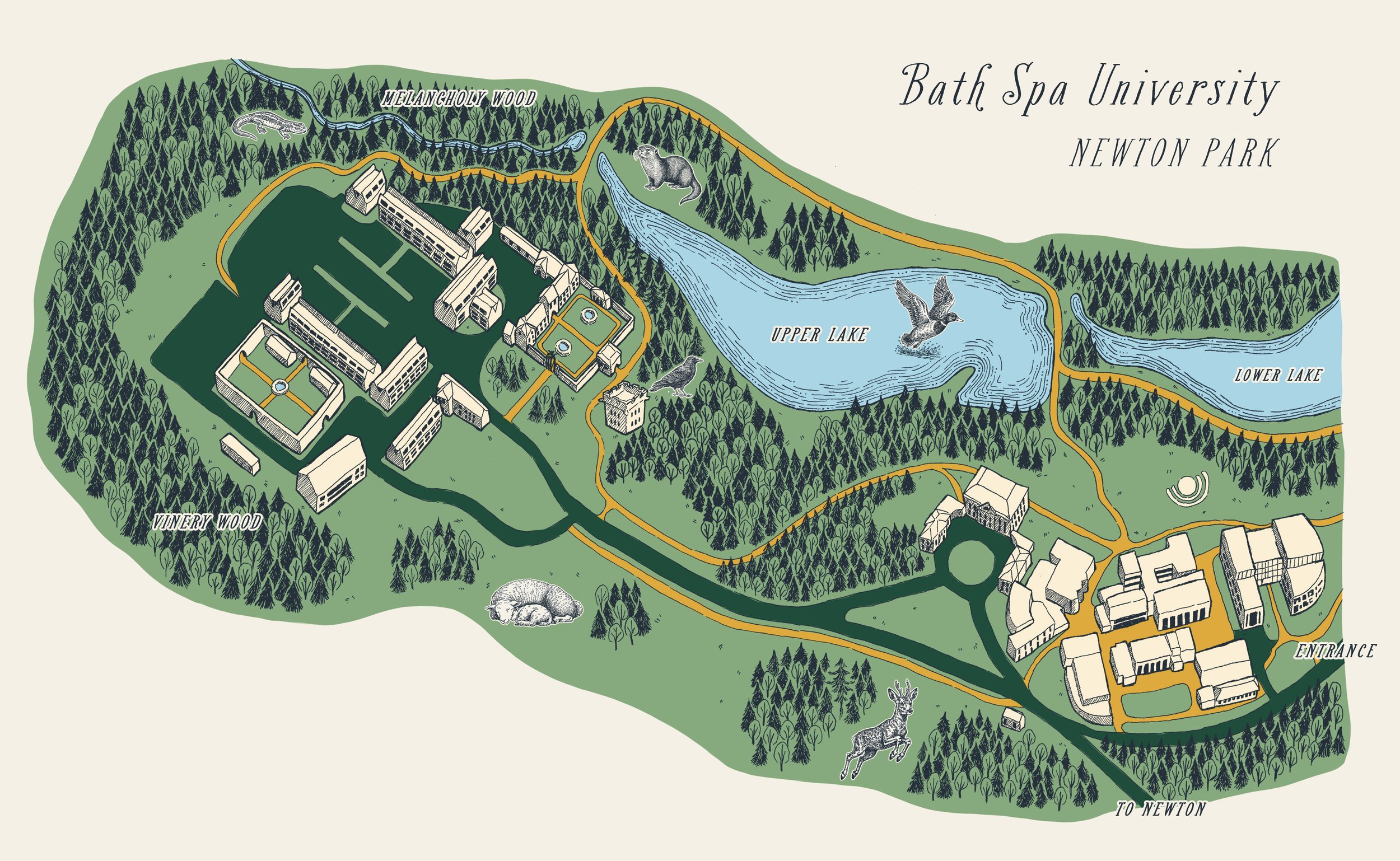
Map of Bath Spa University Newton Park campus showing buildings, Upper Lake, Lower Lake, Melancholy Wood, Vineyard Wood, and surrounding pathways and landmarks.

bath spa uni - newton park campus

Illustrated map & visual identity · Ink, Procreate, Photoshop & Illustrator
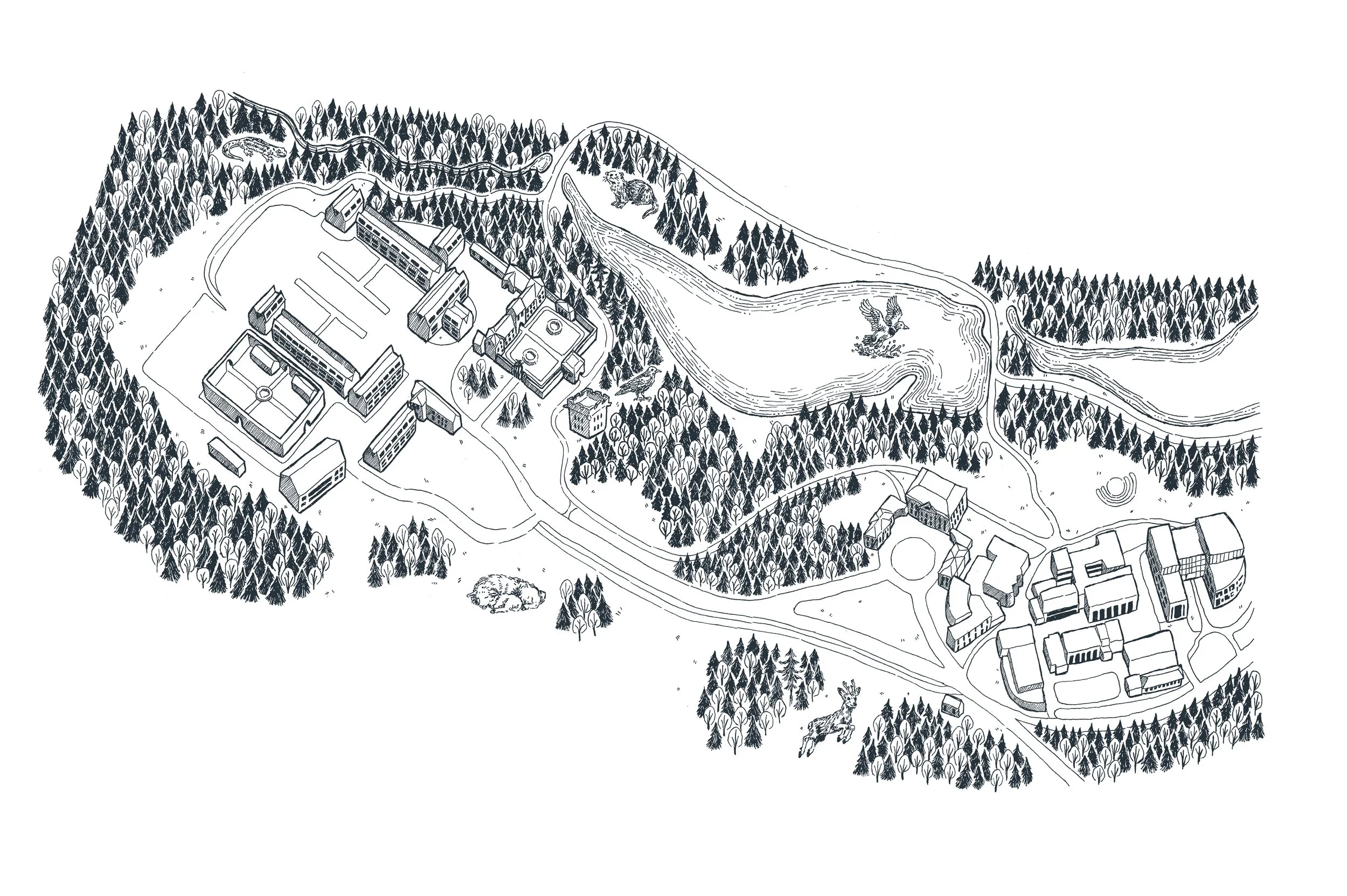
A detailed black and white illustration of a large campus-style complex surrounded by dense forest. The complex includes multiple buildings, sports fields, and a pond with wildlife.